General information
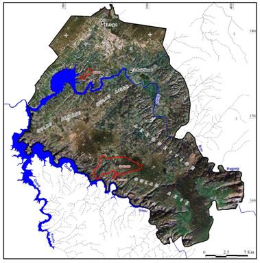
The catchments surrounded by red line represent the three areas where field investigations were held, as well as assessment of SLM techniques and approaches and erosion monitoring.

Figure 1: Image of the Sehoul commune from Google Earth.
The area considered, the Sehoul Plateau, is located between the highway from Rabat to Fes in the north, and the Grou river in the south. It is a part of the old Atlantic Meseta. The substrate consists of Paleozoic schists and sandstones, covered by Miocene molasse (limestone, calcarenite, pebbles) and marls, Pliocene calcarenite and old alluvial terraces consisting of pebbles, sands and clays.

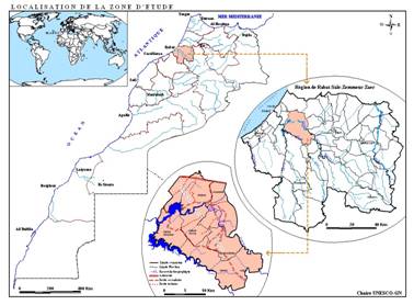
Figure 2: Location of the study site
Size: 397 kmē
Main language: Arabic