Physiographic setting of the plots
The soils are very stony and shallow Lithosols. The burned area (Fig. 4) is characterized by very step slopes (>20º). It belongs to the Castanheira de Pera municipality, located close to the divide with the Góis municipality.
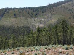
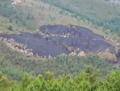
Figure 4. left) Camelo catchment, July 2008, shortly after the wildfire and right) view of the Camelo catchment, one year after the wildfire.