General Information
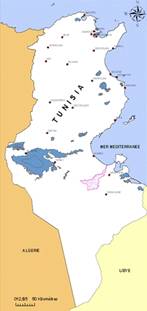
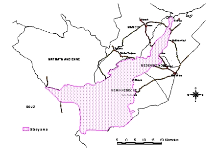
The study site belongs to the region of south eastern Tunisia. It is a transect which stretches out from the Great Oriental Erg oriental and the Dahar plateau in he west, crosses the Matmata mountains between Béni Khdache and Toujane and the open Jeffara plain, then the saline depression (Sebkhat) of Oum Zessar before ending into the Gulf of Gabès (Mediterranean sea). The study site covers an area of 897 km2 and the approximate coordinates of the central point are 33°16' N and 10°08' E.


Study site location