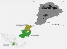
Location of experimental fields
|
Cuitzeo and Cointzio watersheds and Cienega site (red cross) (source: Ordenamiento Ecológico Territorial, SUMA, Morelia, México 2007) |
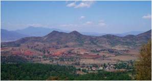
Atecuaro Caldera (looking to the plots) during dry season (photo: C. Prat) |
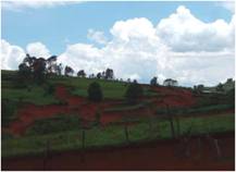
Gullies in the landscape (Atecuaro caldera) during rainy season (photo: C. Prat) |


