Location description
Coordinates
- Site 1: Lathmane: 33°14' N - 10°06' E
- Site 2: Zammour: 33°15' N - 10°10' E
- Site 3: Bhayra: 33°18' N - 10°12' E
Physiographic setting of the plots
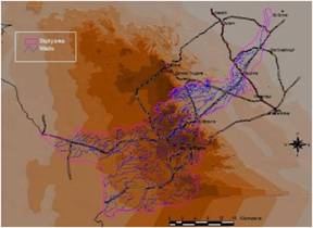
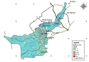
The study area consists in watersheds of wadi Oum Zessar and wadi El Hallouf, the choice of this zone refers to its geographical situation, hydrological, ecological and socio-economic function. It is located in the North of the town of Médenine (figure 2) in the southern part of Tunisia. Theses catchments areas whose surface is around 897 km², are drained by tow principal wadi : wadi Hallouf in the west part and wadi Oum Zessar. The last one, runs out since the mountainous chain of Beni Khdache crosses the Northern delegation of Médenine and reaches the delegation of Sidi Makhlouf to flow in Sebkhas Oum Zessar before reaching the sea. The highest point of the watershed reaches an altitude of 713 m on the level of Jbel Moggar.
|
Fig 1: Elevation and wadis (dashed blue lines) |
Fig 2: Slope classes |

