|
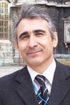
Assoc. Prof. Faruk Ocakoglu
|
This e-mail address is being protected from spambots. You need JavaScript enabled to view it
|
Coordination or involvement of many national and several international projects; surface degradation processes, sediment production and their turning into rock, assessment of palaeoenvironmens of sedimentary rocks, short and long term climatic changes and their records in stratigraphic record; fluvial geomorphology; morphotectonics.
|
|
|
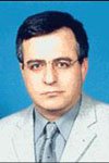
Assoc. Prof. Dr. Candan Gokceoglu
|
|
Engineering geologist; expert on rock mechanics, slope stability and landslide behaviour; spatial analysts, Physical aspect of soil development; GIS and execution of scenario analysis.
|
|
|
Assoc. Prof. Dr. Harun Sonmez
|
|
Expert of rock mechanics; software developer on surface processes such as landslide, runoff, erosion; land use and management with expertise on GIS
|
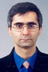
|
|
Assis. Prof. Dr. Şebnem Düzgün
|
|
Spatial statistics in GIS and its applications, spatial data analysis and GIS, spatial data mining, modelling spatial uncertainty, landslide risk assessment and management, use of geographical information systems (GIS) in landslide risk assessment, assessment and management of rainfall-induced landslides, probabilistic modelling of rock slopes, use of probabilistic methods in rock engineering, uncertainty modelling in geotechnical engineering, natural hazard risk assessment.
|

|
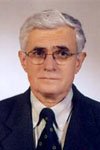
| Assis. Prof. Dr. Halil Güngör |
|
Soil development and erosion; irrigation techniques, mitigation of erosion; expertise on laboratory and field soil tests |
 |
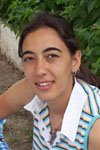
| Geologist (MSc) Sanem Acıkalın |
|
Physical and chemical aspects of soil formation; determination and description of soil fine fraction; fluvial geomorphology; grain size characterization of soil; GIS-based modeling of erosion |
 |
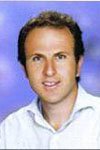
| Geologist (MSc) Mutlu Gürler |
|
Land management, geological monuments and related national and international laws. |
 |
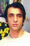
| Assis. Prof. Dr. Atilla Ocak |
|
Plant ecology, Mediterranean vegetation; development of long term sustainability plans regarding the plant ecology |
 |
|
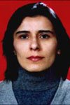
Asist. Prof. Dr. Fatime Güneş
|
|
Poverty, women studies, gender issues, application of statistics in social sciences. |
 |
|
Asist. Prof. Dr. İnci Tolay
|
|
Expertise in soil science, especially soil classification, productivity and fertilisation.
|
 |
|
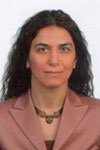
Assoc. Prof. Dr. Şükran Şahin
|
|
Classification and determination of land use types, their dependence to socioeconomic factors, land amelioration, erosion susceptibility mapping
|
 |
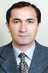
| Assis. Prof. Dr. Mehmet Zengin |
|
Expert on soil productivity and degradation, environmental pollution and water quality. |
 |
| Geologist (MSc) Gonca Gürler |
|
Expertise in GIS based modelling, geostatistics, spatial data analysis, preservation of geological monuments. |
 |
|
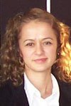
Dr. Zehra AYTAC
|
|
Adaptation of oil crops under semiarid conditions; medicinal and aromatic plants |
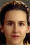 |
| Geologist Osman Kir |
|
Physical aspects of soil formation; Physical analysis of soil samples, classification of land use and GIS based modelling of soil erosion |
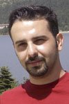 |
| Geologist Celal Erayik |
|
Expertise in GIS based modelling, Spatial data analysis, Modelling spatial uncertainty |
 |

