|
Identifying strategies: Stakeholder Workshop 1 |
 |
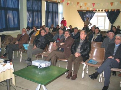 |
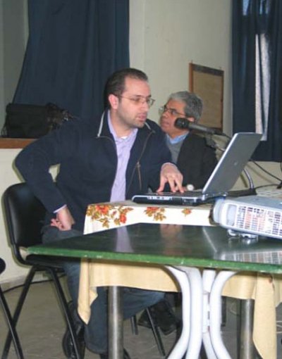
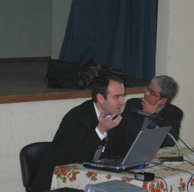
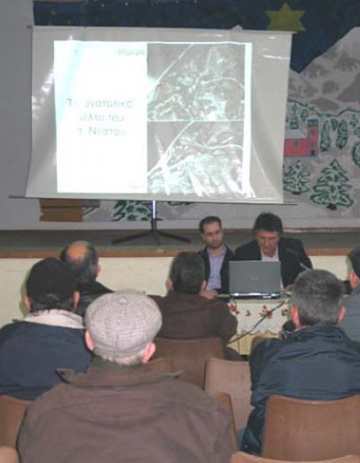
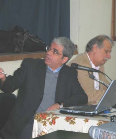
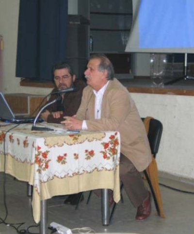
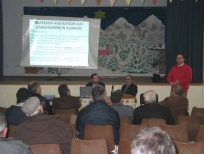
A report on the results of the workshop "Land degradation and desertification - existing and potential prevention and conservation strategies" held in Erasmio, Prefecture of Xanthi, Greece, 19 December 2007
Workshop moderators: Prof. Dr. I. Diamantis, Prof. Dr. Ir. F. Pliakas |
|
Overall aim of the workshop was to present traditional methods to combat soil salinization.
Specific objectives included:
- Exchange experiences between researchers, farmers and stakeholders
- Presentation of the scientific terminology to farmers and stakeholders
- Development of confidence and cooperation between farmers, researchers and stakeholders
- Identification of reclamation methods
- Selection of the most promising methods for field evaluation
|
Background
One of the most important environmental problems of the study area is the phenomenon of seawater intrusion into the coastal unconfined aquifer of eastern Nestos Delta, as a result of a combination of anthropogenic activities with negative impacts on the hydrologic and hydrogeologic regime of the entire area. The main activities mentioned before are the drainage of coastal areas in order to provide areas for agricultural development, the channelization and alignment of Nestos River and finally the extensive overpumping of the phreatic aquifer for irrigation purposes (a practice which takes place continuously up to date).
Main causes and effects of land degradation identified in the workshop
|
Effect of irrigation water quality
|
Continuous irrigation with poor quality water for approximately 20-30 years has resulted in the formation of saline and sodic soils with distinct physical and chemical characteristics. Poor drainage and formation of impermeable clay layer has been observed in several soils in the study site.
|
|
Effect of climatic conditions
|
Decreasing rainfall results in poor salt leaching from the soil profile and recharge of groundwater.
|
|
Effect of shallow groundwater table
|
This is the cause of salinization for soils situated in the low lying regions adjacent to the coast. In this region, the groundwater is saline less than 1 m from soil surface, which results in continuous accumulation of soluble salts in the surface soil due to evaporation. Many hectares of land in the coastal low lying regions consist of natural saline soils and salt marshes.
|
Solutions already applied at the local level
|
Use of freshwater
|
Farmers pump water from adjacent streams and transport it several km through private networks. Local authorities permits farmers to use surface water for irrigation but do not allow them to open new wells, especially in the areas where excessive deterioration of groundwater quality occurs. However, farmer are still make use of groundwater for irrigation.
|
|
Use of gypsum
|
Some farmers have used gypsum to improve salinity problems. Gypsum application lacks scientific background and verification.
|
|
Use of press mud
|
This material is a by-product of sugar processing. It has been applied in the past for soil improvement but proved not to be adequate for sodic soils.
|
|
Use of winter rainfall
|
Winter rainfall can be used both as a management tool to temporarily improve surface soil quality (for the proceeding summer cultivation period) and to cultivate winter crops. Winter rainfall can be managed in addition with gypsum application. Since freshwater is scarce in the region, winter crops cultivation is performed in several cases.
|
|
Drainage improvement
|
The local authorities often perform maintenance work for the surficial drainage systems of the area, including digging and weed removal.
|
|
Soil internal drainage
|
Several farmers applied deep tillage for drainage improvement. However, this is accomplished without scientific support and as a consequence an undesirable hardpan layers is formed again.
|
|
Seeding placement
|
The placement of seeds is especially important since salts accumulated in the ridge area.
|
|
Strategies to be evaluated
1. Freshwater transport
2. Deep ploughing (soil internal drainage improvement)
3. Drainage system maintenance (groundwater level control)
4. Gypsum addition
|
 |
Draft outline of strateby for sustainable land management in this region
A sustainable land management strategy in the study region consists of:
1. Transportation of freshwater (construction of large distribution network)
2. Drainage improvement (new drainage canals and maintenance of existing)
3. Reclamation of degraded land
- Internal drainage improvement (deep ploughing, installation of perforated pipes or ditches)
- Removal of exchangeable sodium (gypsum addition)
- Salt leaching (freshwater flushing)
In cases where freshwater transportation is not possible:
1. Use of winter crops (winter wheat)
2. Use of gypsum to improve soil quality in combination with winter rainfall
3. Irrigation control and timing
4. Soil moisture content and soil salinity monitoring and control by irrigation (Maintenance of soil moisture and salt content at optimum level by using appropriate monitoring equipment)
|

