|
Monitoring the implemented soil and water conservation techniques in the Sehoul region
Many partner instutitions are involved in this work: UNESCO-GN-FLSH, ADRF, CRF, S/CDF, INRA, CNESTEN, Chair
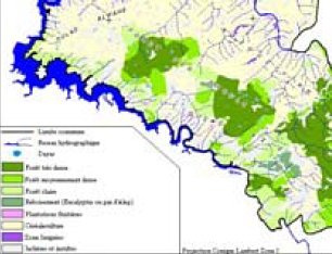 |
The Sehoul commune, located on the Bouregreg and Grou valleys north of the Plateau Central suffers from both poverty and land degradation, characterized by high variability of the production and chronic shortage in natural resources. |
The aim of this work is to monitor the efficiency of implemented techniques for preserving soil and water in the framework of long term evaluation of the strategies proposed during the participatory workshops by farmers and groups of actors.
These techniques are already used in this area:
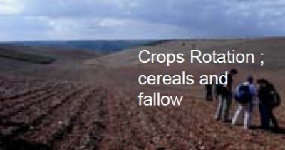
- rotation of cereals/fallow;
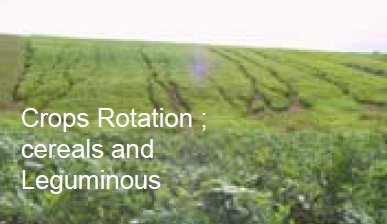
- rotation of cereals/legumes;
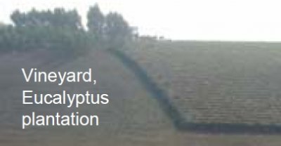
- tree plantations.
Two new strategies have recently been introduced:
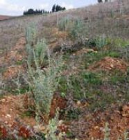
- planting the shrub Atriplex to restore degraded land and especially the gullied areas. Plantation to be monitored for 3 years;
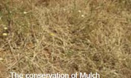
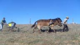
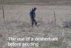
- mulching associated with minimum tillage (5 cm) to protect the soil against splash and to restore the quality of the soil. To be monitored for 3 years.
| 1. Monitoring the soil and water dynamics in the Hannanet experimental catchment |
 |
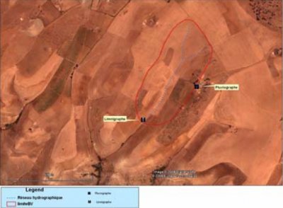
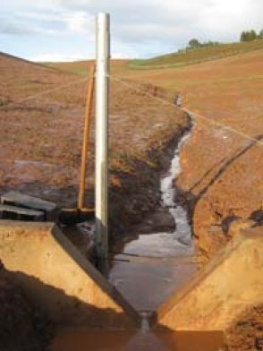
The monitoring of soil, vegetation and water dynamics, in various plots in the catchment, together with the hydrologic follow-up at the outlet will allow to run a model in order to obtain a spatial functioning of the catchment and to determine the hot spots inside it (i.e. the plots responsible of delivering runoff and erosion). |
|
|
|
| The Hannanet catchment |
V-notch weir and liminigraph with data logger |
|
|
|
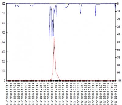
| Rainfall intensity and discharge measurement |
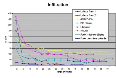
Monitoring infiltration in various plots in the catchment |
|
Water balance at the micro-catchment scale in 2008-09
- Total rainfall: 726.7 mm
- Total rainfall volume: 122,600 m2
- Total runoff: 12,191 m3
- Runoff coefficient: 10%
|
7Be measurements (2009)
Mean erosion (kg m-2)
- Vineyard: 0.78
- Bean: 2.16
- Barley: 3.03
|
Monitoring the various types of land use in the catchment: (follow up of the soil surface and its characteristics, technology and approach assessment)
| 2. Monitoring new soil and water conservation techniques |
Two types of land use are being considered:
- annual cultivation,
- grazing in pastures.
Two types of processes are responsible for land degradation:
Two kinds of intervention are being assessed:
- in cereal plot: mulching followed by minuimum tillage for the reconstitution of the biological mechanisms in the soil,
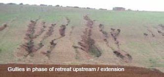
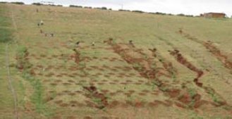
- in a gullied area: plantation of Atriplex to restore the land and prevent gulley extension.
Two modes of monitiring are being used:
- in the cultivated plot, soil and vegetation measusurements,
- in the gullied areas, micro-topography monitoring and vegetation measurements.
Monitoring the plot with mulch and minimum tillage
- permanent installation of sets of TDR at 5, 15 and 30 cm depth to monitor the soil,
- repeated measurements of the corops during the vegetative cycle,
- measuring the yield in and outside the mulch field,
- observations on the soil behaviour after rain.
 |
 |
 |
| Gullies in phase of retreat upstream/extension |
Plantation of Atriplex to restore the land |
Strips of Atriplex, autumn 2009 |
Monitoring the effects of Atriplex plantation
- Follow-up of the surface and of the vegetative cover (Atriplex, herbs, soil surface) by comparison between the planted field and the other gullies,
- Micro-topographic monitoring of two gullies, one in the planted field and the other outside.
|

