| WOCAT tool for mapping land degradation and land conservation |
 |
|
Editors: Hanspeter Liniger, Godert van Lynden, Freddy Nachtergaele, Gudrun Schwilch Copyright © 2008: CDE/WOCAT, FAO/LADA, ISRIC
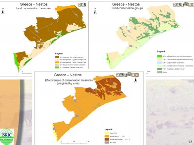
DESIRE has used the WOCAT method for mapping land degradation and sustainable land management in each of the study sites. The method was originally developed in the GLASOD project, but has been refined and developed with each successive set of applications (WOCAT, WOCAT/LADA, DESIRE).
For each distinctive land use type, the method evaluates
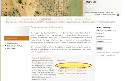
The method is designed to be used by an interdisciplinary team of specialists in subjects related to land degradation, land management, land use and soil and water conservation. The team first develops a base map (usually based on land use) then uses a questionnaire to gather the necessary data on land degradation and conservation for each land use system. The method is fully described in the document that can be downloaded at the bottom of this page
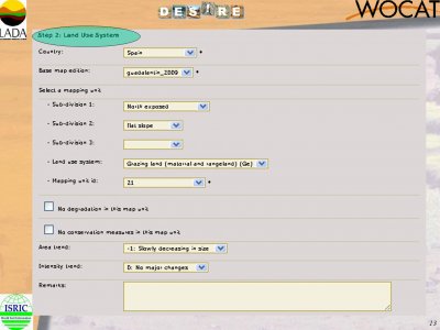
The area to be mapped is divided into distinctive land use systems. Trends in changes in the area covered by easy land use and also its intensity are determined.
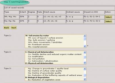
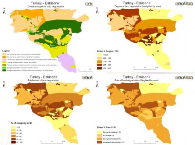
For each land use system, the type, extent, degree, impact on ecosystem services, direct and indirect causes of degradation are determined.
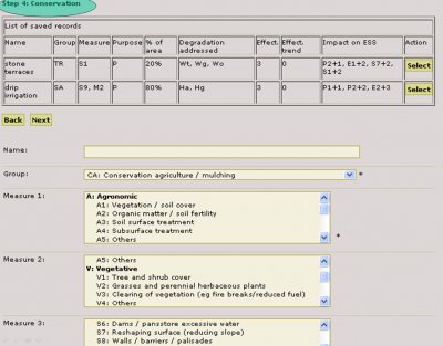
For each land use system, the type, extent, effectiveness, impact on ecosystem services and type of degradation addressed are determined for all land conservation practices used in the area.
|
|||||||||||||
Acknowledgement
The DESIRE project was
|
DESIRE brought together the expertise of
26 international research institutes
and non-governmental organisations.
This website does not necessarily
represent the opinion of the
European Commission. The European
Commission is not responsible for
any use that might be made of the
information contained herein. 

