Main reasons for selecting this site
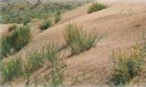
The Karapınar area immediately comes to mind when addressing the desertification phenomena in Turkey since many prevention and mitigation measures have been implemented in the region in the past, particularly between 1960s and 1970s. The climate here is the driest of the country. The ground is covered by loose lacustrine deposits. These materials are very sensitive to long-lasting wind activity (sometimes 18-25 m/sec) when coupled with deterioration of weak vegetation cover and unsuitable agricultural practices (Figure 2).
Figure 2: Sand dunes in the Karapınar area

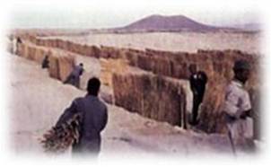
Wind erosion and dune shift has reached an intolerable level from the viewpoints of agriculture and life quality in early 1960s when an experimental station was implemented to halt and reverse this degradation process (Figure 3).
Figure 3: Preservation efforts in 1960s in the Karapınar area

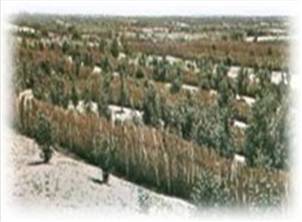
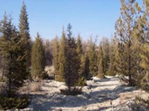
Konya plain, and particularly the Karapınar area, was famous for cereal production and animal feeding (especially sheep) in the 1960s. In the last years irrigated agriculture is rapidly expanding due to novel market pressure, developing techniques and subsidies, as a result ground water levels have been dropped dramatically. Although the applied prevention measures provided a significant success (Figure 4), their impact decreases with time while the socio-economic and climatic factors worsen. The area also has been affected from secondary salinization that resulted from intense use of groundwater. There are on-going projects to prevent desertification including the application suitable agricultural techniques, forestation and sustainable exploitation of ground water. All these reasons led us to choose this area as a study site.
Figure 4: Outcomes of preservation measures in 2000s

