| Study site location & description |
 |
|
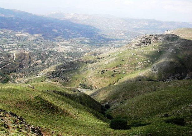
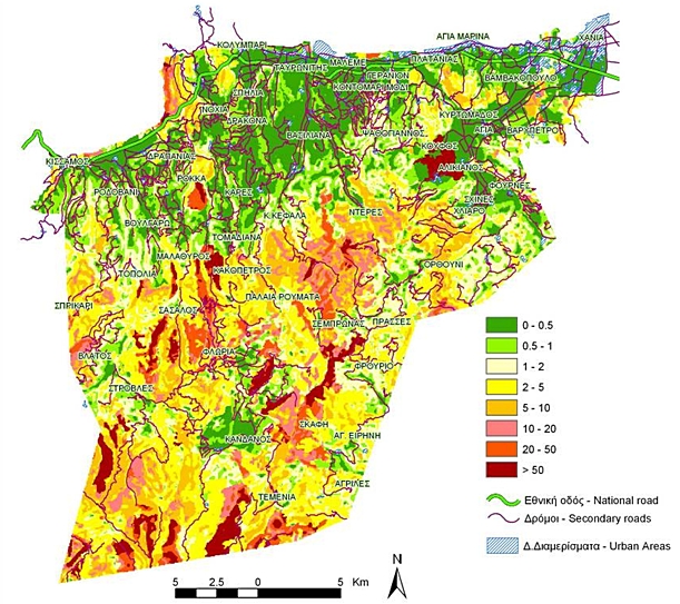
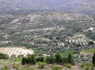
Two areas of the Crete were chosen for detailed study. The first was located in Chania, in the west of the island. The second was the Messara valley which is situated centrally but towards the southern coast.
The island of Crete, covering an area of 8.261 square kilometers, is located in the southern part of Greece, in the Mediterranean sea. The eastern and central part of the island is already badly degraded and desertified, while the rest is highly sensitive to desertification. Soil erosion due to surface water runoff and tillage operations, collapse of terraces, overgrazing, and salinisation of lowland due to poorly drained soils, and overexploitation of ground water are the major processes of land degradation in the area.
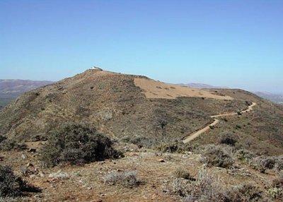
The historical evolution of land uses in Crete has shown a dramatic increase in agricultural land in previous centuries by replacing forested land. Many of the areas that once supported natural vegetation and forests were cleared in order to sustain agriculture, but since measures of soil conservation were insufficient, these areas were severely eroded and degraded. Overgrazing and fires further destroyed the natural vegetation cover and prevented its regeneration. Now these areas are mainly unproductive, sparsely populated and desertified. The land has highly degraded mainly due to soil erosion and, under dry climatic conditions, vegetation growth and crop production has largely declined in those areas. Cultivation of highly degraded land is not economically feasible leading to land abandonment with adverse consequences.
Tending livestock is one of the main agricultural activities in the hilly and mountainous areas of the island. That type of land management is considered as the most important process of land degradation and desertification of hilly and mountainous areas. The process of land degradation is greatly accelerated by high animal densities that lead to vegetation degradation and soil compaction. Shepherds often damage natural vegetation by deliberately setting fires to eradicate vegetation and encourage the growth of new grass, which the animals then overgraze.
Water availability has become a major issue on the island due to increasing demands for irrigated agriculture and human consumption. The number of tourists visiting the island has significantly increased in the last two decades, raising the problem of better management of water resources. Flooding is another major issue for the flatter plain areas of the island. Steep slopes with shallow soils overlying consolidated bedrocks and poor vegetation cover favor high surface water runoff causing extensive flooding in the lowland.
The DESIRE project will identify all the processes and factors affecting land degradation in the island and sustainable measures will be defined for combating desertification in areas vulnerable to desertification such in olive groves, vineyards, pastures and intensively cultivated lowlands.
|
||||||||||||||
Study sites
Acknowledgement
The DESIRE project was
|
DESIRE brought together the expertise of
26 international research institutes
and non-governmental organisations.
This website does not necessarily
represent the opinion of the
European Commission. The European
Commission is not responsible for
any use that might be made of the
information contained herein. 

