Phase 2
Phase 2: Linking land use change with spatial neighbourhood characteristics
This part of the modelling framework examines the extent to which the observed land uses have been shaped by the biophysical properties that characterise the agro-ecosystem being studied. The purpose in particular is to model the likelihood of transition from one type of land use to another given the existing biophysical features of the landscape. The multi-temporal land use maps produced from the first analytical phase serve as the main input for this analysis. From this process, the biophysical features that significantly explain the land uses in the study area (observed in Phase 1) can be identified. In other words, this phase explores variation across space that influences land uses. Below is a list of potential spatial explanatory variables:
- Dominant land use types surrounding a given unit of analysis (determined using Euclidean distance and neighbourhood statistics in ArcGIS);
- Slope (derived from Digital Elevation Model - DEM);
- Soil characteristics (soil map);
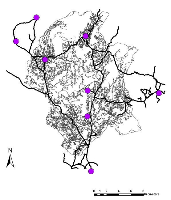
- Distance to main road (derived using road network map and distance measuring tool in ArcGIS; road network in the study area has been fully digitised) (Figure 4.2);
- Distance to nearby settlement (derived using distance measuring tool in ArcGIS; settlements existing in the study area have also been digitised) (Figure 4.2); and
- Distance to market (derived using distance measuring tool in ArcGIS) by using towns and cities within and nearby the study area, including the capital city of the Region of Murcia.
The last three variables in the list above can be considered as socio-spatial features as they are defined in relation to human infrastructure as opposed to the first three which are purely biophysical states. This phase of the modelling is expected to be straightforward once the digitisation of all the land use maps has been completed.


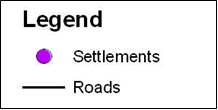
Figure 4.2: Roads and settlements within Torealvilla subcatchment